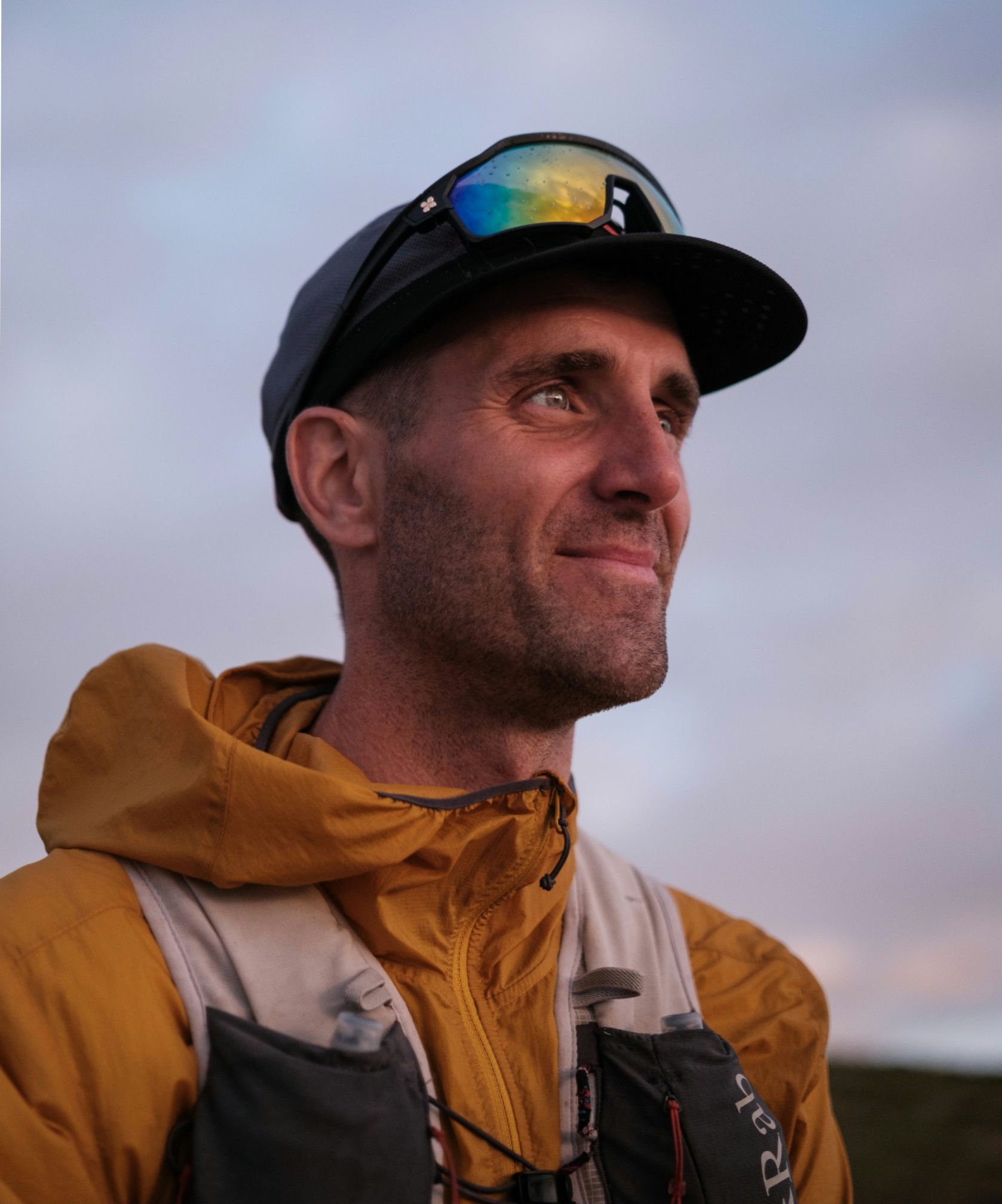
Fagaras Diary (and what's in the rucksack!)
- Ben James
- Feb 2, 2023
- 6 min read
Updated: Aug 22, 2025
Usually after every each significant trip I compile a trip report, usually made from the notes I record at the end of each day when out on expedition.
This time I've decided to just publish the notes as I made them at the time, no editing, just copied straight from the original entry. Its been made slightly easier by the fact I made the notes on my phone and the trip was short and sweet!
The main draw back of this trip was time. We both had limited time available so allowed 6 days only to complete the route, the same usually allowed for a Winter traverse. It was going to be a push, and we knew that from the start.
A highlights video is now on the previous blog post;

Its has always been my intention to share my kit list and food for each trip I undertake, I just fail to do it at the time and then never tend to re-visit that blog post. Not this time! After the diary entries, I have included the full PDF of my kit list, the team kit and food breakdowns, (Including weights if you're also that way inclined!)
The kit list is the final version of everything that was carried into the Mountains, after ditching several items due to the weather being warmer than forecast and not needing snow shoes for the initial ascent. As ever, the feedback is appreciated, especially any questions around any specific items or choices.

Fagaras Traverse Diary
Day 1
After two days of logistics and kit shuffling, it was time to get going. Large kit dump due to the weather being 10 degrees warmer than the average
Taxi to the start. 8am.
Huge ascent today, 1800metres approx 20kg on our backs.
Unassuming start through some woodlands tracks. Long ascent quite quickly which soon got us above the snowline.
Hard going on steep slippery wood. Neil unwell still following a recent chest infection. Few extra breaks to ease into it.
Bear tracks seen, what happened to Hibernation?!?
Large chunk of descent before ascending again, nearly 400 metres over a couple of km. Hard work.
First few summits achieved. On to the emergency shelter to sleep. Straw on the floor, smelt like a stable.
18.4km
8 hours
1846 metres ascent

Day 2
7am start in the "stable." Neil back on breakfast duty.
Very windy at the start. Goretex on to layer up. Very Cold in the wind. Stronger than predicted, estimated 30 -40 mph.
Ascent at the very start was a bit of a slog, but probably the hardest part of the day.
Wind picked up again, wind chill difficult and drifting some snow. Google's and extra gloves needed today. Visibility reduced.
Crampons required as we topped 2000m
Difficult nav. Very hungry! Didn't stop much to eat due to the cold.
Found another shelter so took the chance for a reprieve and then refuel.
A few ridges to cross, drops eitherside, not that we could see them.
One last big accent followed by an equally large descent down to the shoulder of the mountain. Another hut to stay in, wooden framed shelter made of old garage doors with bed ledges. Bit better. Snow has started coming in again. Very big ascent to start the day tomorrow!
6 hours
14.50km
780 metres ascent.

Day 3
Probably fell asleep by 6pm last night, relatively good sleep. Woke up at 7 as per norm.
Todays weather was due to be snowy with light winds. It was snowy with strong winds, having been windy all night. Loads of dirft.
Ascent up 700m first thing, gained the ridge again.
Proved to be a very difficult day due to the drifting snow very hard ascents with deep powder. First half took a lot longer than planned.
Stomach issues on ascent, not ideal. Possibly from exertion and change in food. Body feels pretty battered after only 3 days!
Stumbled into a refuge after the first half, realising we were falling short. Carried on into more dirft with some very hard contouring and horrendous ascents. Struggled due to stomach issues which put a bit more responsibility onto Neil and left him doing more than his fair share of breaking trail, which was frustrating. Probably more so for him.
Nav a bit array in places meant a few bits of correction. Drift meant contouring was nigh impossible and we had to ascend a summit as it was easier! Very hard going, snow knee deep in places, at least shin deep for most the route.
Ran on into darkness/ night due to the length of time it took, head torch for the last few km down to a refuge.
Shattered.
14.2km
1520 metres ascent
9.5 hours.

Day 4
Not the greatest nights sleep. Resorted to headphones and burning through some phone battery to counteract Neil's snoring. First time I've known him snore, typically when we had a big day ahead.
As it turns out, it's was a small day planned, 8km with a chunk of ascent, including the highest summit, before heading to he next hut.
The morning was much better, no wind but gentle snow. There had though been more snow over night probably an inch of two places which probably meant more slogging. Stomach seems better today. Hopefully it holds up.
Out a bit late, 930. Followed some markers which were precarious due to the large embankment of snow, pushing us to the edge of a steep drop. As the visibility cleared, the way up to Vista Maria appeared. Extremely steep. Powdery snow, probably shin deep in places again.
Neil took the lead and was concerned, confirming it was going to require us to places fixed anchors and belay. Likely this would take an hour to pass this small portion, with a lot more technical terrain to go later in the day. With more snow forecast too, we made the difficult decision to turn back, based on the time we had left, it was unlikely we would traverse the more technical parts with the two days we had left, with over half the route to go.
It didn't end there. The escape route north was essentially a cliff. More blown snow had made a cornice and then steep bank of snow, too steep to see down clearly.
The next option was the slightly more obvious route south. Not so accessible. A few hundred metres of down climbing. Soft snow. Steep cliffs and then frozen turf. Eventually bottoming out onto more rocky terrain. Abseil from trees. 4km in 4 ½ hours.
Walked out into the valley. Probably 40 km to the nearest settlement, and then hope we can get a taxi back to somewhere to find the car!
Shelter tonight is horrendous, derelict building with a leak, wet floor, abandoned dog bed, shards of glass and discarded tissue. Not quite the dream trip. More bear tracks seen, food and rubbish hung outside a decent distance away.
07:50 hours
19km
1462metres descent

Day 5
Long day 20ish km as the crow flies to "village." Decent pace out of the woods and really gunned it in the hope to reach some civilisation by mid dayish, giving us more time to then plan a way to get back to the North and to our hire car that's stashed at the end.
Pretty good start, no stops, just carried on. Definitely feeling fatigued today and really felt the weight of the rucksack when we were just relentlessly plodding on.
Began to see signs of life, forestry work ongoing in the area. Difficult day with nothing else to focus on, knowing its the end of the trip whilst dealing with that niggling "failure" and "what ifs" in the back of your mind.
Ended up in a village. Shop closed. No obvious bus routes or taxis, as predicted. Sat in what appeared to be a run down bus shelter. It was. As if by luck a bus trundles up and drops off some worker from the nearest town. Managed to get that all the way to a decently sized town. Ate a meal and felt a bit better. Long taxi ride booked then finally reunited with the car and our route back to Bucharest. (Tomorrow).
04:30
23.3km

Grand totals:
4146 metres ascent
89.5 km
And finally, the kit list;
Many thanks to;


Comments